Standing Stone (destroyed): OS Grid Reference – NM 9169 3408
Also Known as:
Archaeology & History
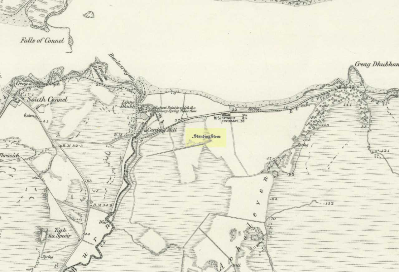
The Royal Commission for Historic Scotland (1974) recorded this “stone that formerly stood within the area now occupied by Connel Station,” which was thought to have been destroyed shortly before construction of the said building. Thankfully the Ordnance Survey lads recorded its position on their cartographic ventures here in 1871. Mr R.A. Smith (1874) also mentioned the site, albeit briefly, in his fine series of essays on the antiquities of Loch Etive, telling us:
“Above Connell Ferry we come to a small brook called Lusragan, and a few houses with a mill called Clachaleven. To the east, in a field above the road, is a large standing stone, and around it marks where others, well remembered, lately stood.”
But sadly it seems, these have all gone.
References:
- Royal Commission for Ancient & Historical Monuments, Scotland, Argyll – volume 2: Lorn, HMSO: Edinburgh 1974.
- Smith, R. Angus, “Descriptive List of Antiquities near Loch Etive, part 3,” in PSAS, 10, 1874.
© Paul Bennett, The Northern Antiquarian