Healing Well: OS Grid Reference – NS 96535 98711
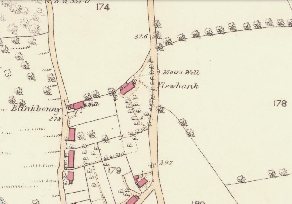
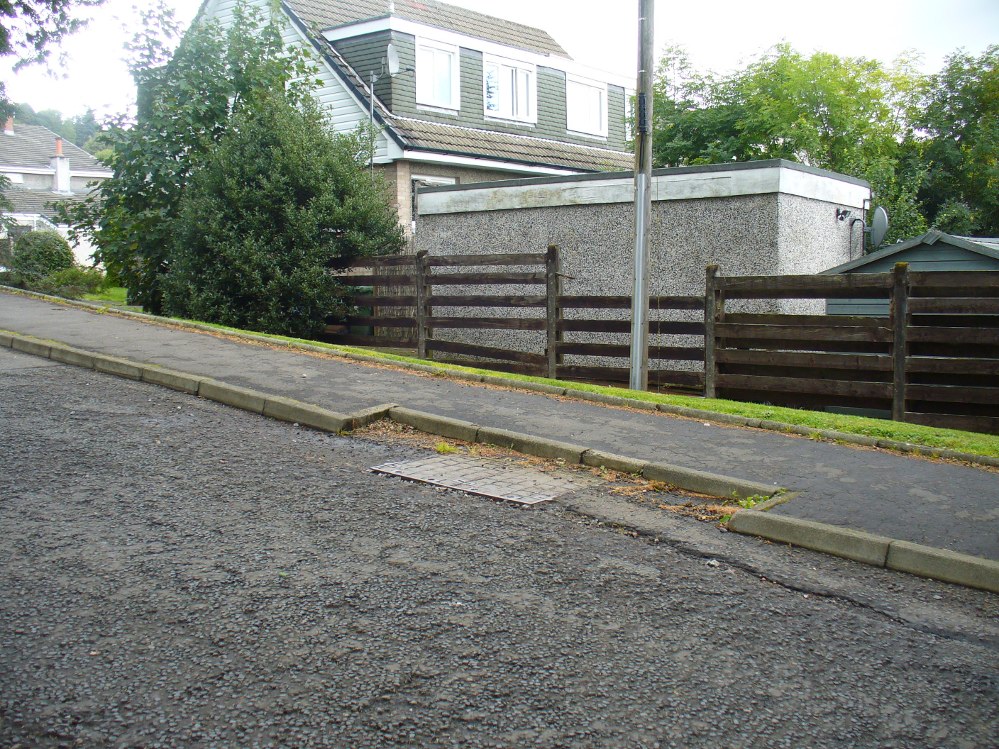
Go up the road alongside the Dollar Burn, turning right, up the steep hill as if heading to the Wizard’s Stone and the impressive Castleton monolith, a mile further along. Before reaching the Wizard’s Stone, keep your eyes peeled on the right for the street-name, ‘Moir’s Well’. From here, walk up the road less than another 100 yards and till you reach the water-cover.
Archaeology & History
There is little known about any history of this now-covered old well, halfway up the steep slope towards Lochy Launds. It was noted by Ordnance Survey in 1861 and subsequently published on the earliest OS-map a few years later. It was obviously a wayside well for those venturing up the steep hill and used to have an old stone trough into which the waters ran. Although we don’t know for certain, the etymology of the well probably comes from the surname Muir, which according to William Gibson (1883) was common in the old village.
People living in the houses below here, told us that after heavy rains their gardens become very boggy, which is probably due to the sub-surface water from Muir’s Well. Tis good to know that the waters are still finding their way out!
References:
- Gibson, William, Reminiscences of Dollar, Tillicoultry and other Districts Adjoining the Ochils, Andrew Elliot 1883.
© Paul Bennett, The Northern Antiquarian