Cairn: OS Grid Reference – NS 7501 9315
Also Known as:
Go west outta Stirling along the Cambusbarron road and along the Main Street until it meets up with Touch Road. Go along here for a couple of miles, past Touch House and Seton Lodge until you reach the small West Lodge cottage where the road bends. From here go left up the footpath onto the fields immediately south. About 200 yards on, where the field rises to the crest of the hill, you’ll note the small mound right next to the track. If you start walking back down the slope again, you’ve walked past it!
Archaeology & History

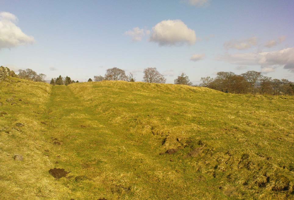
There’s not too much to see here as the site is very much overgrown, but it’s in a lovely spot looking across to the Ochil Hills eastwards. And if records are anything to go by, it’s a pretty isolated prehistoric site with no companions close by — though a prehistoric food vessel was located a short distance to the east on the Touch House Estate grounds many years ago. It’s quite a large, roughly circular mound. Several long stones are visible, laid down, on top of its western side, which archaeologists believe may represent the remains of an encircling stone ring that was built to define the cairn. As far as I’m aware the site remains unexcavated and its condition is still much as it was when the Scottish Royal Commission fellas visited the place in 1956. Following their brief excursion, they later (1963) wrote the following notes:
“It is circular on plan, measures 65ft in diameter at the base and stands to a height of 2ft 6in. Now covered with fine pasture, it appears to have been formerly under cultivation, and the flat top measures 50ft in diameter. The mound may represent a denuded cairn and three earthfast boulders which protrude through the turf near the W edge may be the remains of a peristalith. The largest stone has a bench-mark carved on it (125.9).”
A later brief report by the Royal Commission (1979) commented that the site was a cairn measuring 20m across and 0.7m high.
References:
- Royal Commission on the Ancient & Historical Monuments Scotland, Stirling – volume 1, HMSO: Edinburgh 1963.
- Royal Commission on the Ancient & Historical Monuments of Scotland, Archaeological Sites and Monuments of Stirling District, Central Region, Society of Antiquaries of Scotland 1979.
© Paul Bennett, The Northern Antiquarian